Site Plans and Location Maps
Get a bird’s eye view…
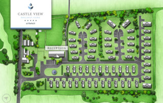
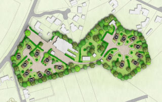
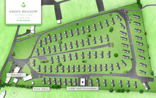
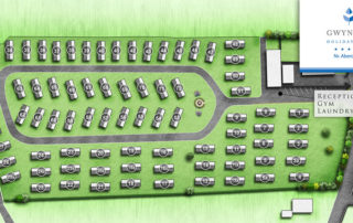
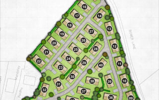
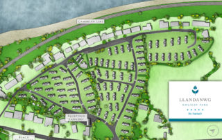
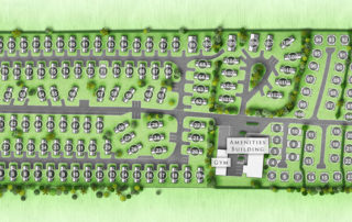
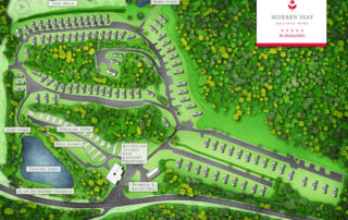
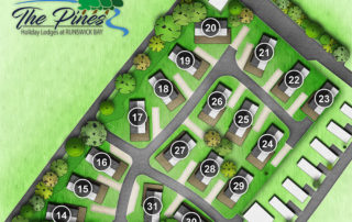
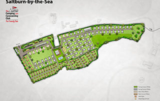
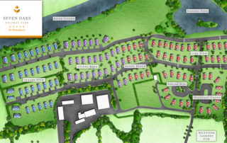
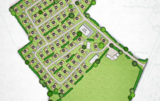
We will start with any existing plans you have of your site, and use specialist drone photography to produce a variety of plans and maps that will aid you in site licence compliance, fire safety, development, plot identification, planning applications, presentation and marketing.
Our plans can easily be scaled for development purposes and overlaid onto ordinance survey/land registry data. This will ensure your park and its surroundings are always accurately represented. Park maps and plans are great for helping your customers understand the most desirable locations in your park, as well as how to find local facilities and services. You can also use them to promote areas in your park that you would like to drive people towards.
